Our Mountain, Mount Hood
By Lloyd Musser
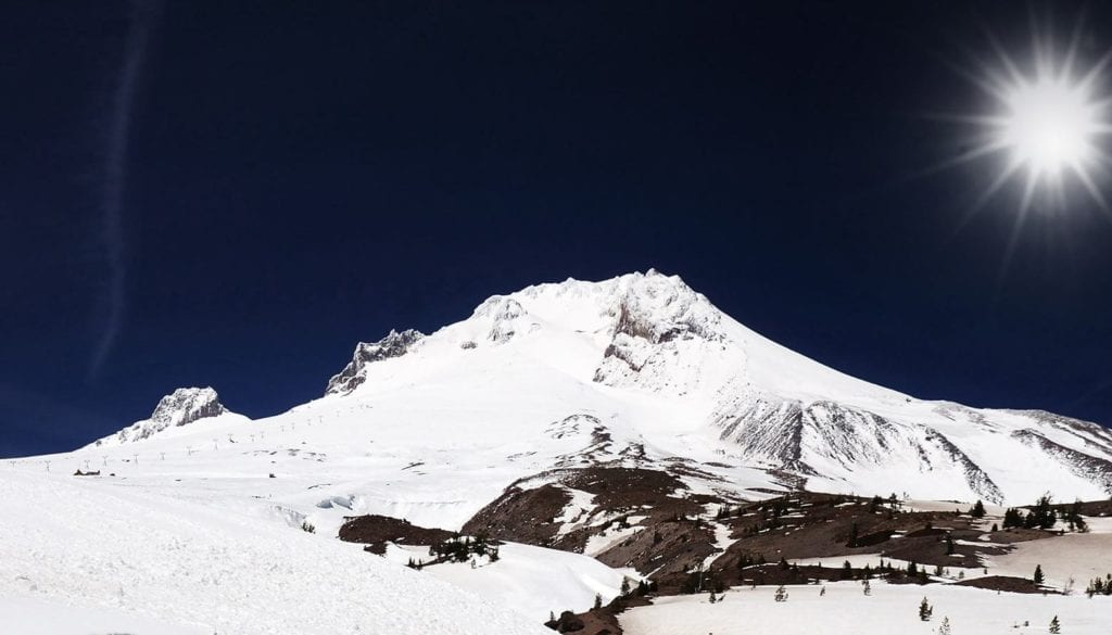
Is that Mount Hood? How tall is it? Is it going to erupt? These are the questions most often asked by visitors to the Mt. Hood Cultural Center and Museum. The first two questions are rather easy to answer if one does not deviate from the standard docent script. The question relating to potential volcanic activity requires a bit more than a yes or no answer.
The short answer to the question “is that Mt. Hood” is yes. The long answer is more involved. The timeless Native American name was Wy’east. Lt. Broughton of the Royal Navy spotted the mountain in 1792 while exploring the Columbia River, and named it Mount Hood to honor Lord Hood who had signed the orders authorizing Vancouver and Broughton’s voyage to the Pacific Coast. Attempts were made over the years to assign other names to Mt. Hood.
Two French voyageurs working for the Hudson Bay Co. in 1818 referred to the mountain as Montague de Neige. The French name was also used by Capt. Nathaniel Wyeth a Boston trader, exploring the Columbia River in 1832.
Lewis and Clark spotted Mount Hood on October 18, 1805 as they passed from the Snake River drainage into the Columbia River basin near Hat Rock in Umatilla County, Oregon. They referred to the mountain as Vancouver’s Mount Hood. The same mountain is referred to in their journals as Fall Mountain or Timm Mountain, the later being an Indian term for falls. These journal notations were used when the explorers were in the vicinity or falls and rapids near The Dalles on the Columbia River. Spotting Mount Hood must have be a comfort to Lewis and Clark, as they had not been able to confirm their location on maps and charts since they left the Dakotas in April of 1804. Mount Hood served as a course marker for the Corps of Discovery as they proceeded on to their intended destination, the Pacific Ocean.
Hall Kelly, the Boston promoter of Oregon called all the snow capped peaks of the Cascade Mountain Range guardian peaks. He also wanted to name the major peaks for US presidents. He named Mount Hood, Adams and Mount St. Helens, Washington, because he thought is was taller than Mount Hood. He did not really know because he had never visited the Oregon country.
Capt. John Fremont referred to Mount Hood as his old friend, because it kept appearing over his shoulder as he explored Oregon in 1843. Joel Palmer also must have felt that this mountain was his savior or guardian. Palmer was able to find a route suitable for the Barlow wagon train, which was stranded, east of Government Camp. By climbing about a mile above timberline, Palmer could see a passable route over Bennett Pass, through Summit Prairie, into Government Camp, down Laurel Hill and on into the Willamette Valley.
Fred H. McNeil in his 1937 book Wy’East, The Mountain, refers to the Mount Hood as the peak “that towers like a guardian of the Oregon Cascades”. Oregonians who live in the shadow of Mount Hood and recreate on its slopes usually just refer to the peak as The Mountain, My Mountain or Our Mountain. Yes, the peak that can be seen from much of the Oregon country is Mount Hood.
The height of Mount Hood is also a question with several answers. Prior to the 1840’s most viewers believed the mountain to be at least 18,000’ tall. Mount Hood and other Cascade peaks appear larger than they actually are because of their isolated position and the gradual uplift from the surrounding landscape.
The height debate started when the Thomas Dryer party made the first actual ascent to the top of Mount Hood, in 1854. Dryer reported in his newspaper, The Oregonian, the peak was 18,361’. A Mr. Belden counter the next year that his calculations indicated the correct height to be 19,400’. An army surveyor named Williamson measured the height to be 11,225’ in 1867. This reduced height is much closer to the 10-12,000 feet height estimated by David Douglas, the Scottish botanist that explored Oregon in 1825.
The United States Coast and Geodetic Survey found the mountain to be 11, 253’ in 1916. A new survey by the same agency in 1939 found the true height to be 11, 245’. In 1958 the USGS placed the height to be 11, 235’. Apparently mapmakers use whichever height they think most creditable. A 1924 Forest Service map shows Mt. Hood as being 11,225’, in 1939 they show 11,253’ and by 1988 this agency raised the height 11, 245’. The official State of Oregon map, produced by ODOT indicates Mt. Hood to be 11,240’. Today, an Internet map site shows the mountain to be 11,239 feet.
Based on the above heights and sources, we can only be sure of one thing. That is the mountain is certainly higher that the 8,245 feet shown on a 1940’s souvenir plate on display in the museum.
At this time it appears the correct answer to the question, will the mountain blow up, is yes. The real question is when, and no one has an answer for that question.
Lloyd Musser spent his 36-year US Forest Service career working in the shadow of Mt. Hood and now serves on the museum board and volunteers as museum curator.


